|
2015 would be my second time to take photos of Canada Day firework near The Forks. Last year, I was not able to go to a planned location due to flooding of the Red River. This time with an electric longboard, I scouted around The Forks to see if I could find a better location. This was pure guesswork as I had no idea where exactly the firework would be. 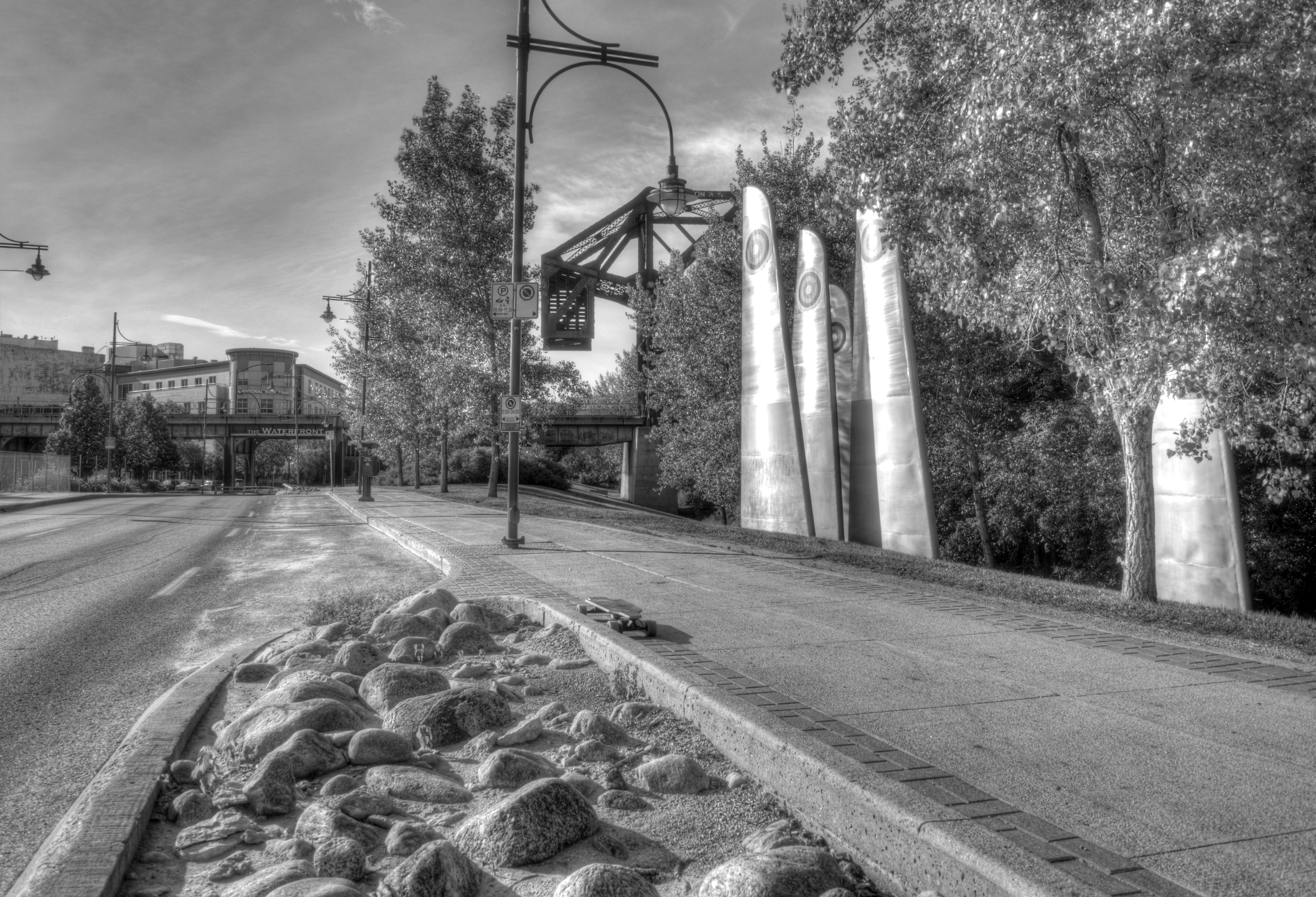 At the Waterfront Drive, leading to The Forks. 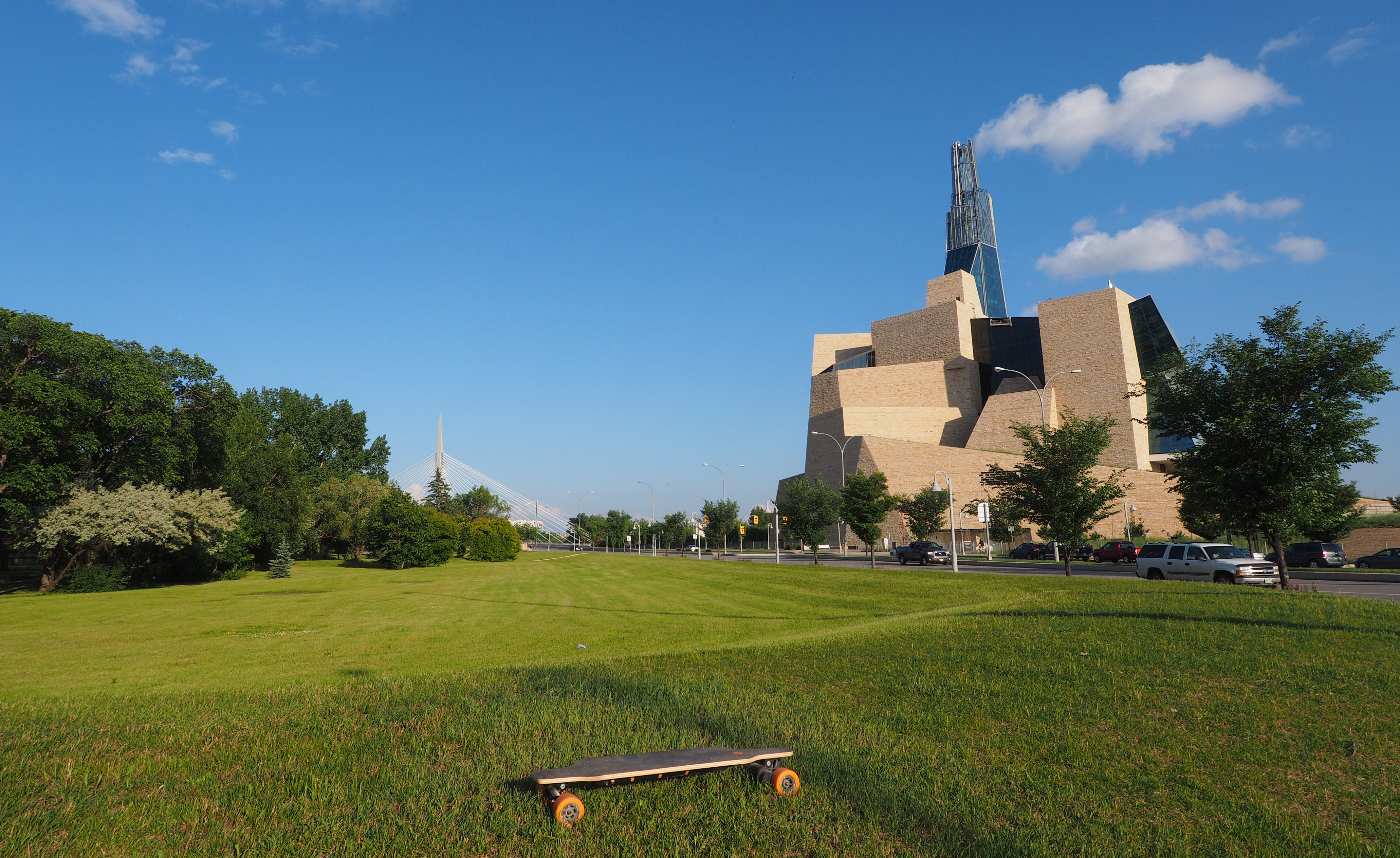 Esplanade Riel Footbridge at the far left and the Canadian Museum for Human Rights at the right. 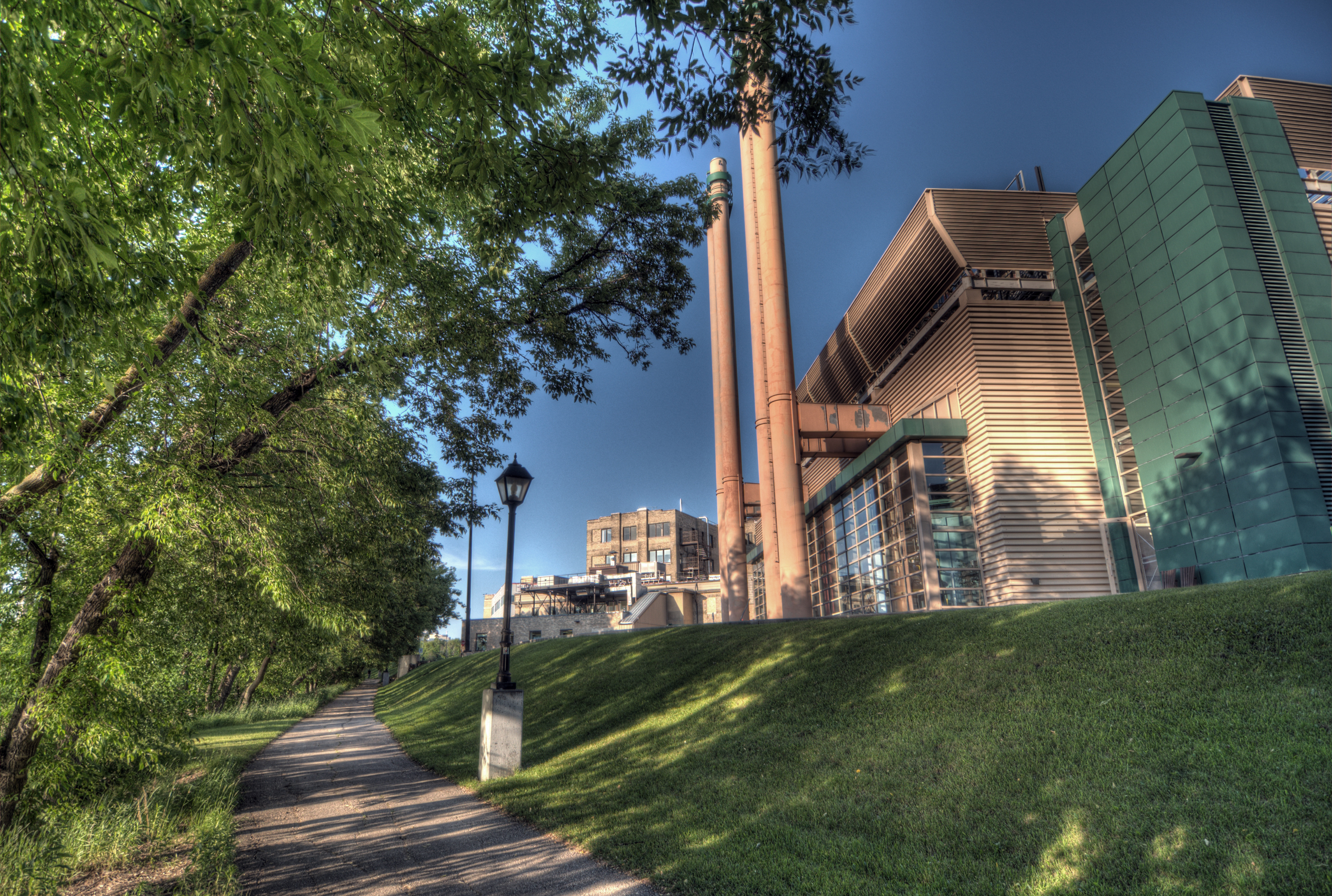 On a bicycle trail next to the St. Boniface Hospital 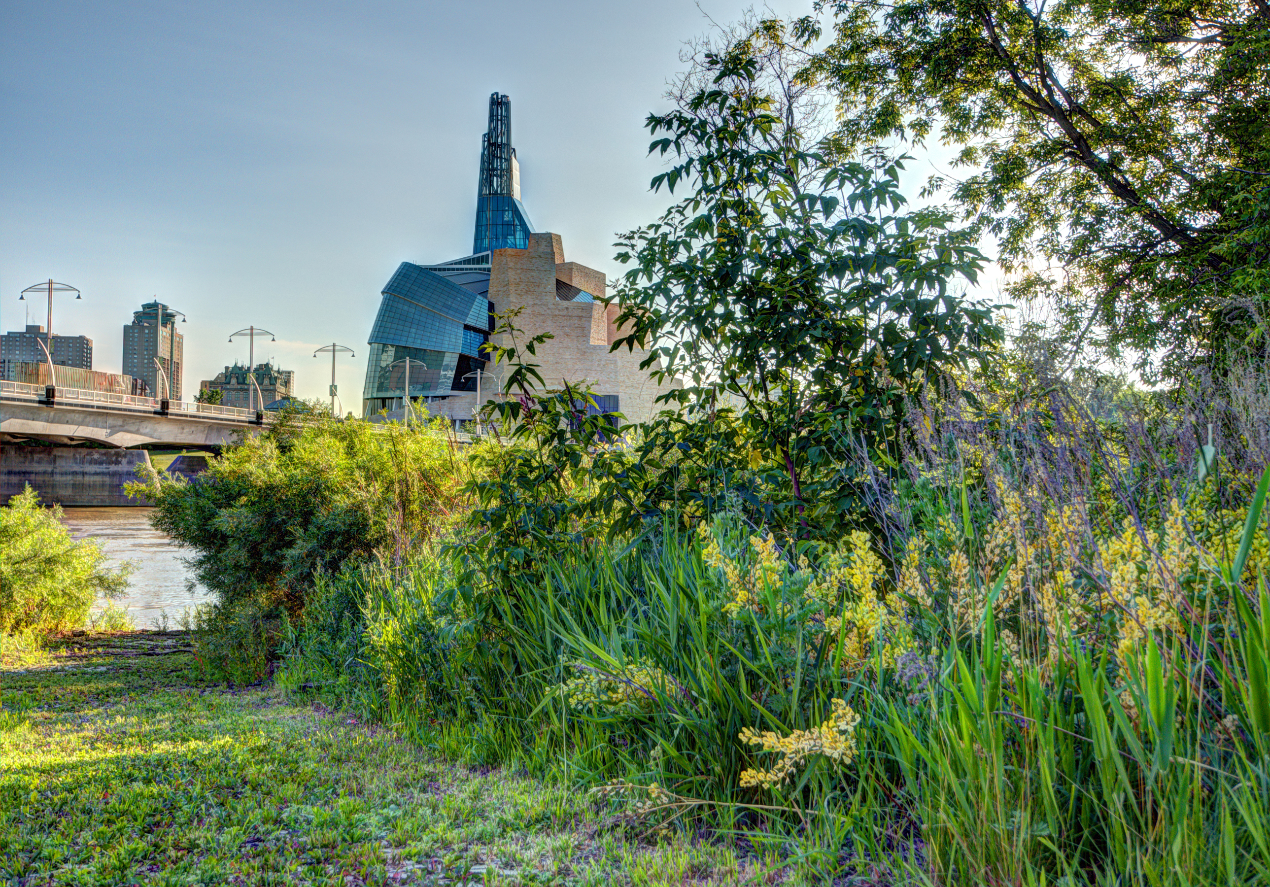 Finally, I fixed a location at Parc Joseph Royal! (Note after the 2015 July 1st firework: Unfortunately, I changed my mind and didn't come here again on July 1st.) 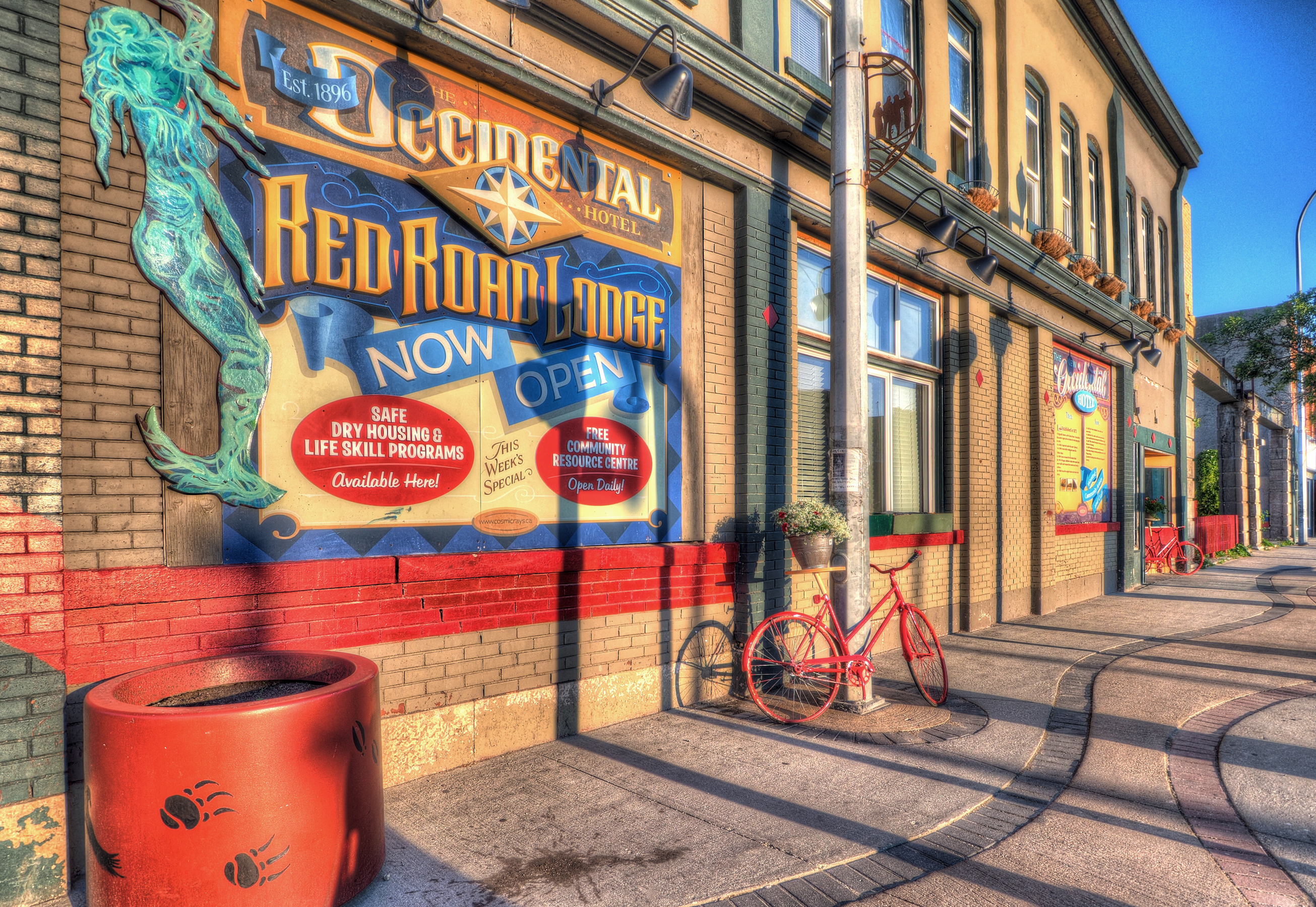 The Red Road Lodge, on my way home. 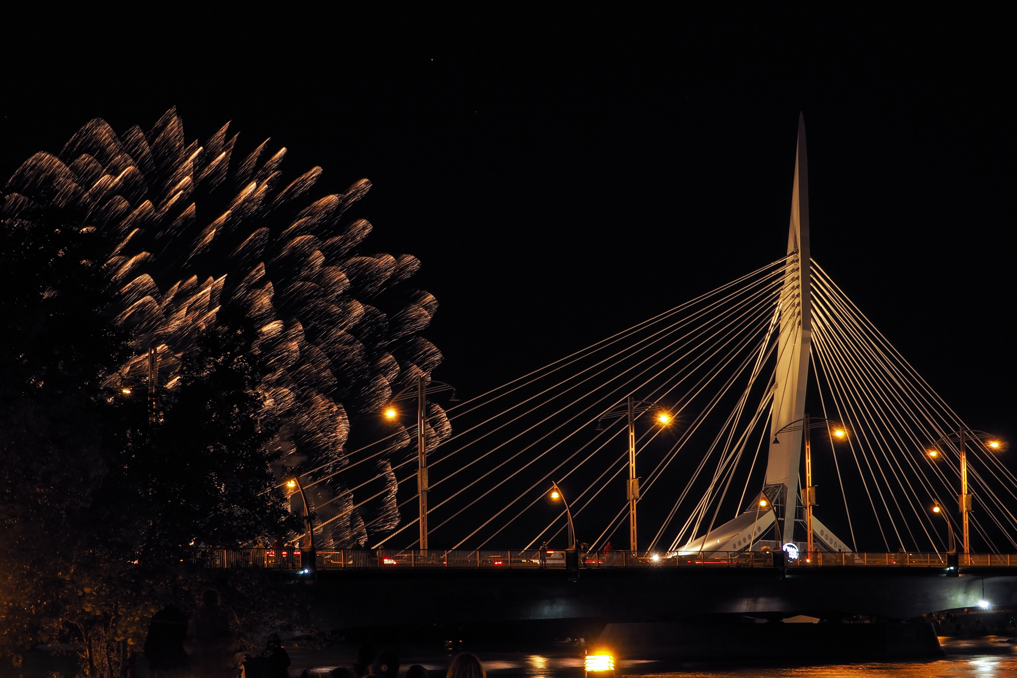 Not taken in 2015, this photo was taken July 1st, 2014.
0 Comments
This was a short journey up the Disraeli Freeway starting at Logan Avenue. (Click on the photos to enlarge.) 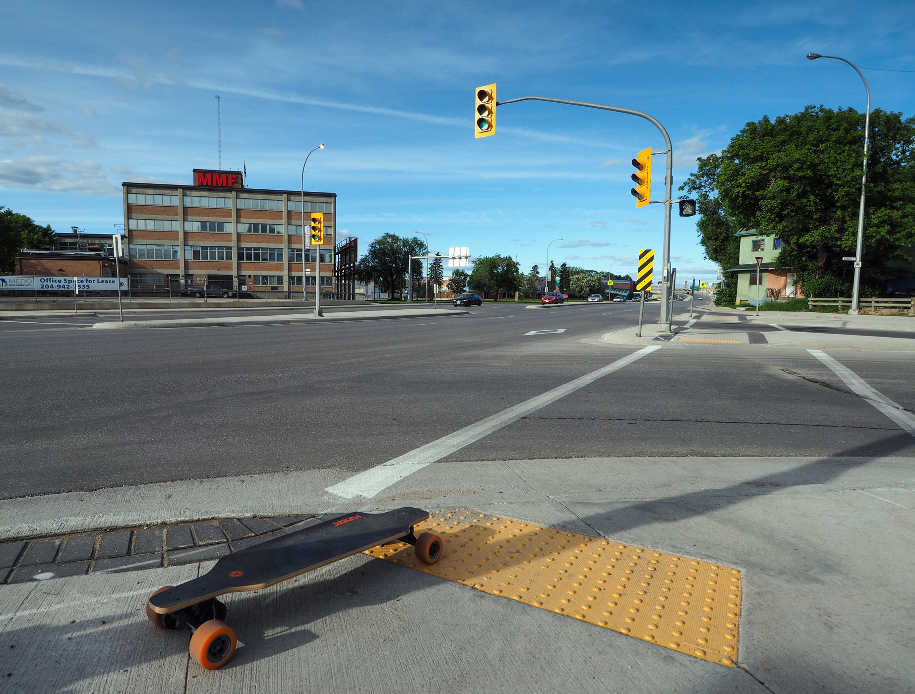 The beginning of Disraeli Freeway near Logan Avenue. Tactile pavings for the visually impaired are quite pumpy. I would avoid them whenever possible. 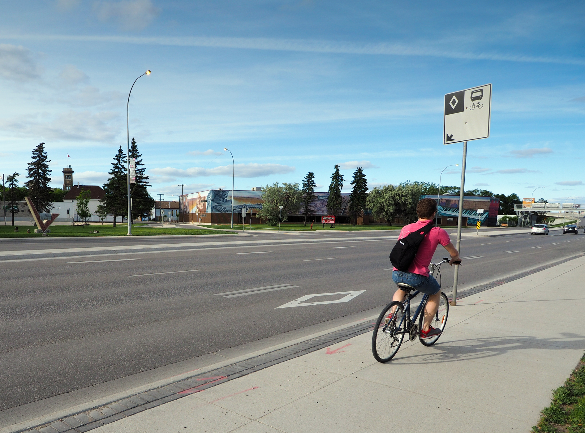 Many cyclists prefer sidewalks to bicycle paths. 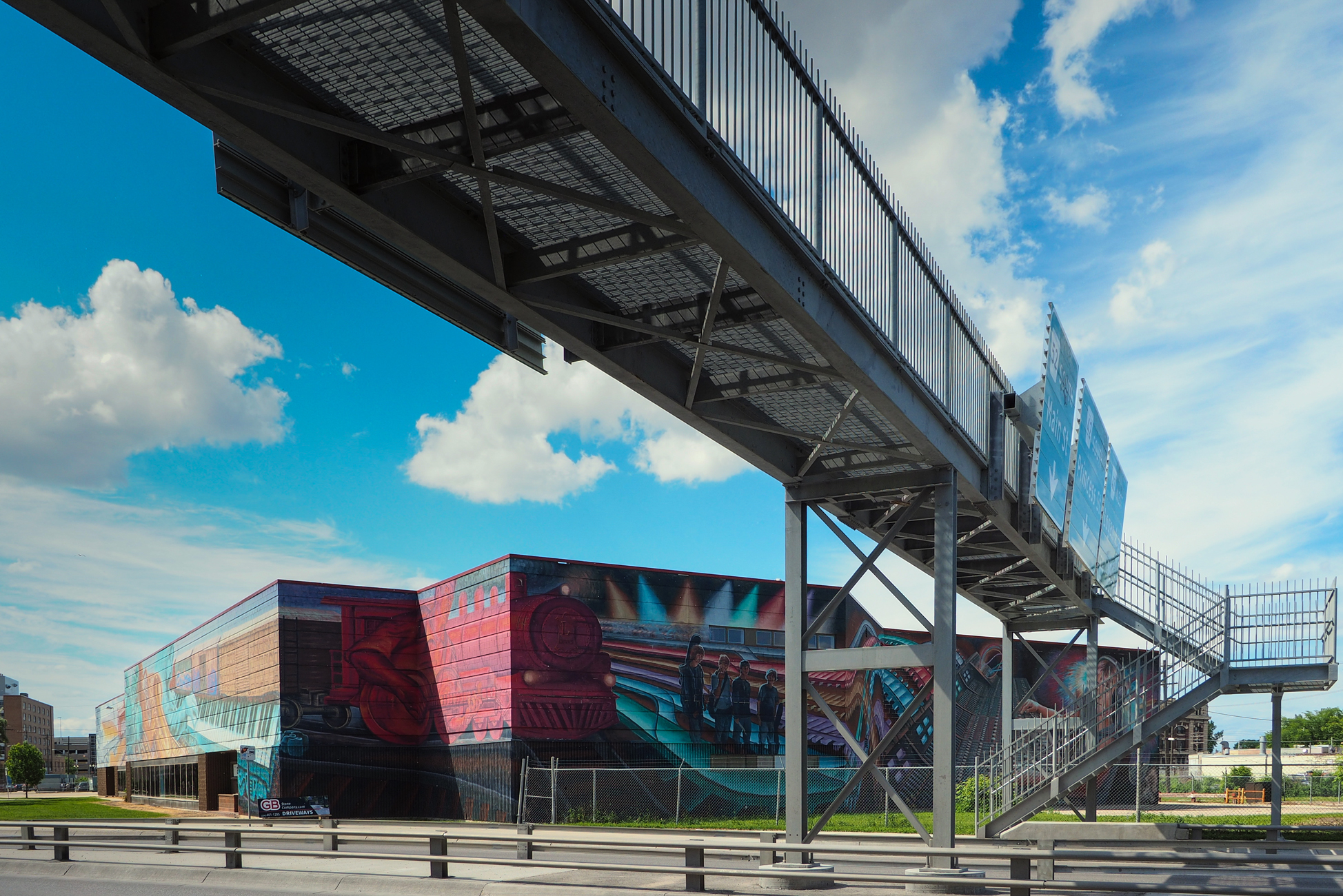 Landmark property for sale. 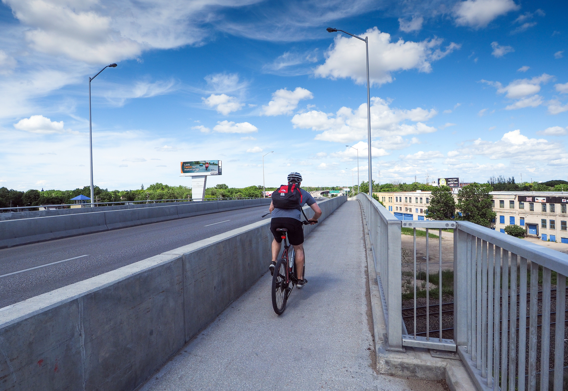 The slope up the freeway is quite gentle As a results, I could get to the top with the E-GO Cruiser much faster than cyclists. The problem is with going downhill. Cyclists are really fast moving downward. To avoid being "pushed" by cyclists, or "blocking" them, I would try my best to get ahead of them well before reaching the top. The sidewalk is quite narrow up the freeway, adding difficulty to ride along with cyclists. 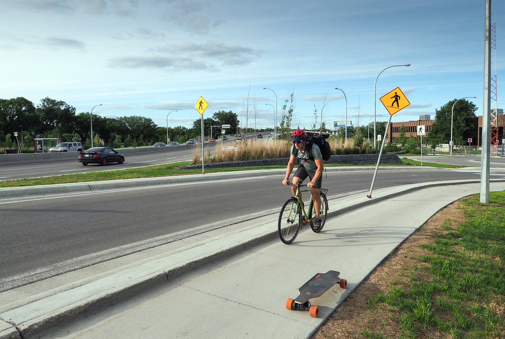 Taking photos of cyclists at Gladstone Street. 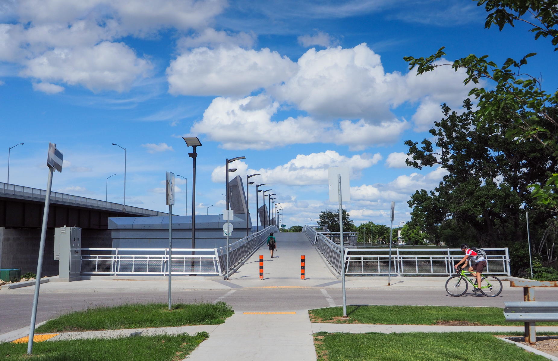 This is the Disraeli Active Transportation Bridge over the Red River for cyclists and pedestrians. 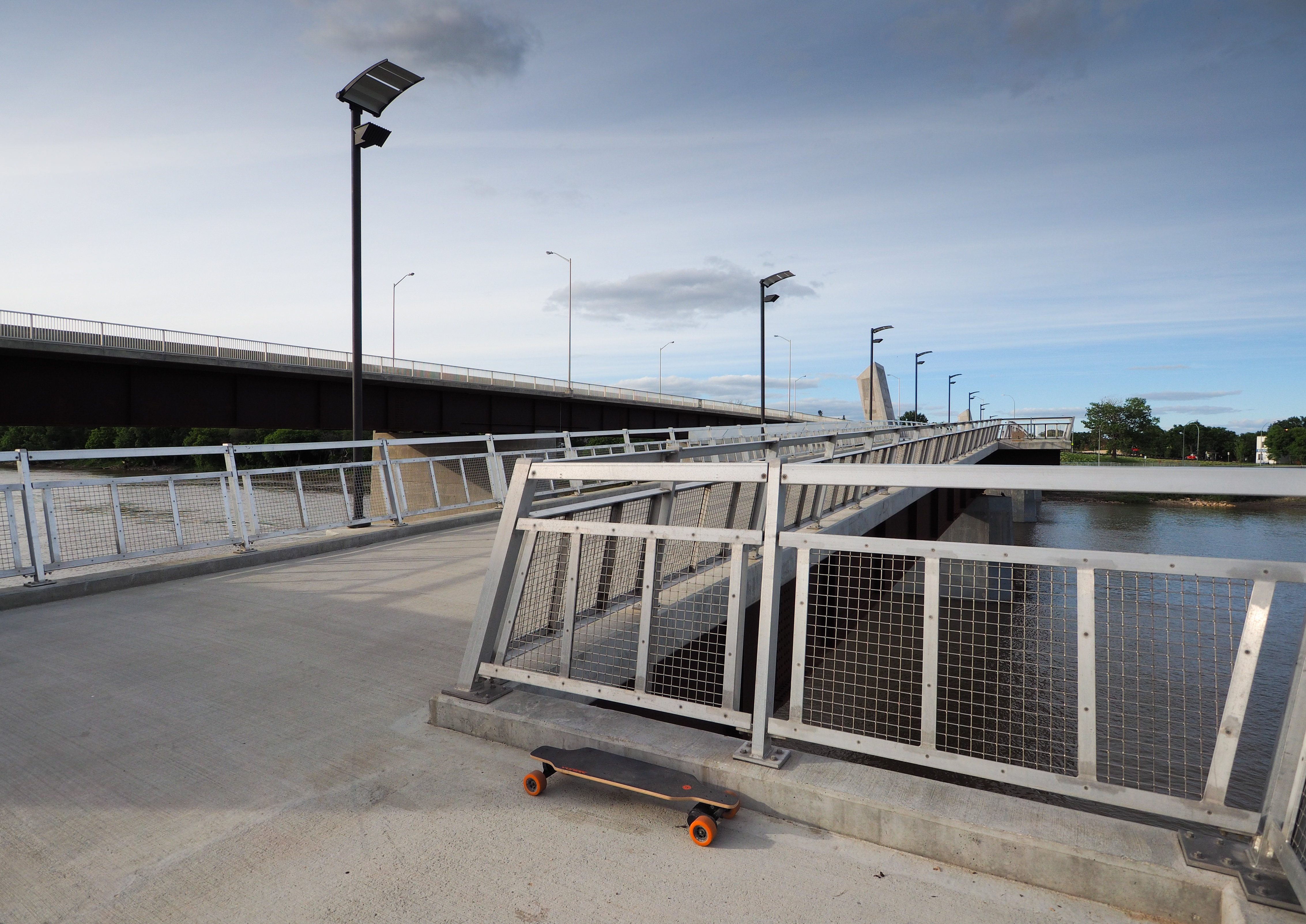 On the Disraeli Active Transportation Bridge. 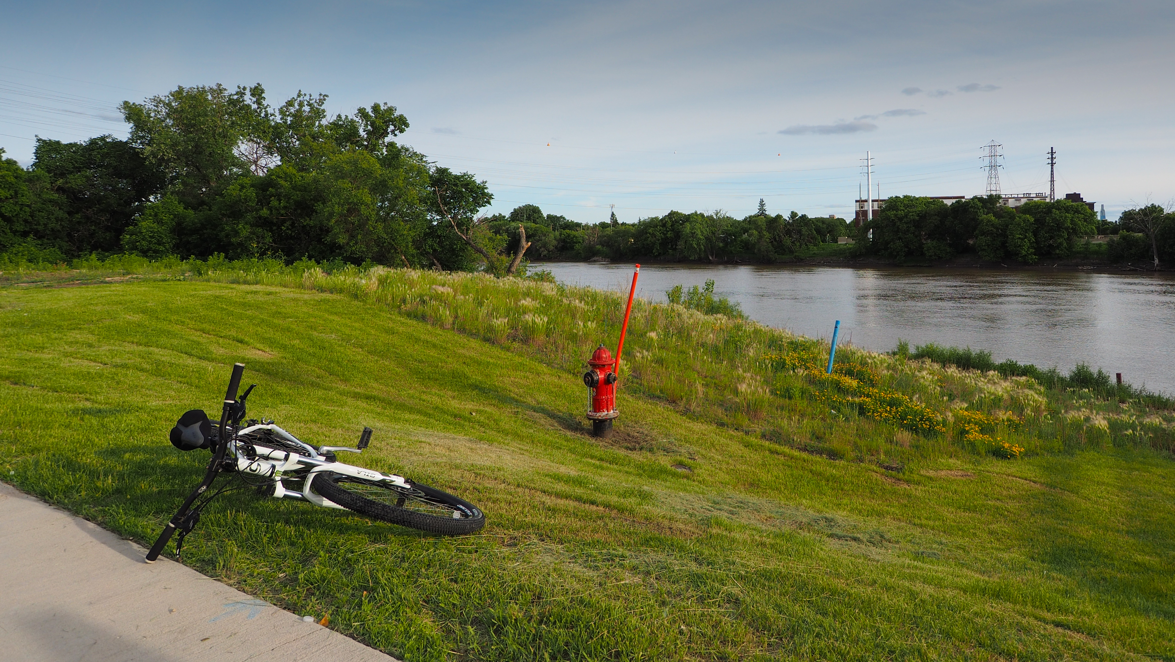 End of the Disraeli Active Transportation Bridge at Midwinter Avenue. Despite knowing that I was taking photos of the hydrant, a cyclist stopped right in front of me to seek urgent relief under the bridge behind me. 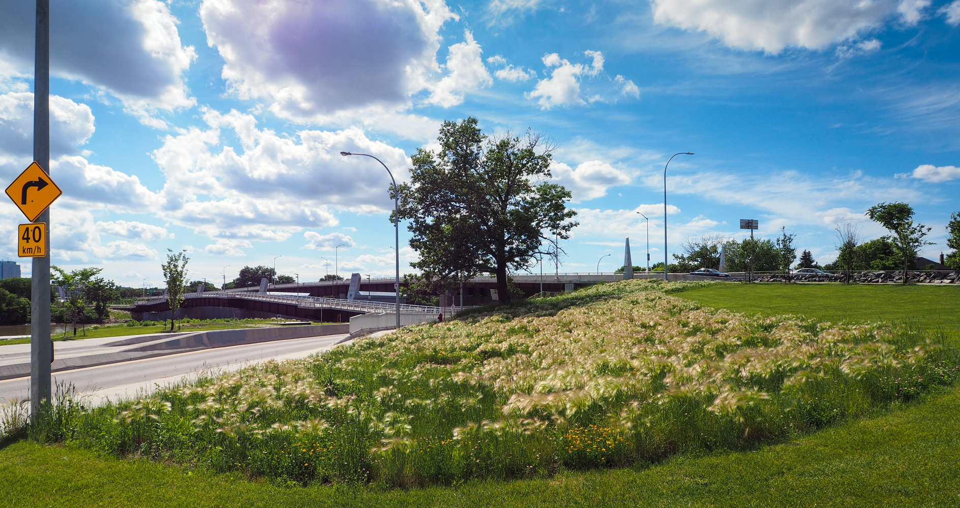 Looking back at the Disraeli Active Transportation Bridge after crossing Midwinter Avenue.
The City of Winnipeg has submitted its bicycle paths and trails information to Google. There is now an option with Google Map to display all available paths and trails. 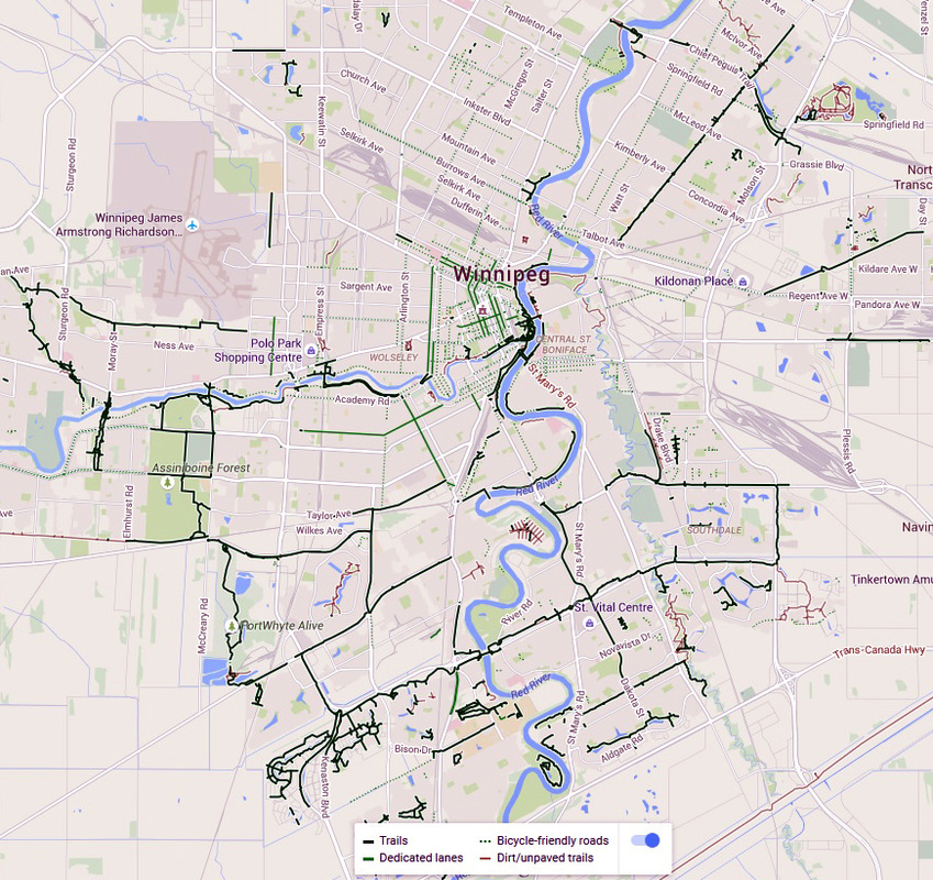 Copy Rights Google Map Unfortunately, even If the color of a bicycle path or trail is not red, it could still be unpaved. Longboarding on unpaved is just not possible with my E-GO Cruiser.
|
DarrylTaking up longboarding... Archives
November 2018
Categories
All
|
 RSS Feed